-
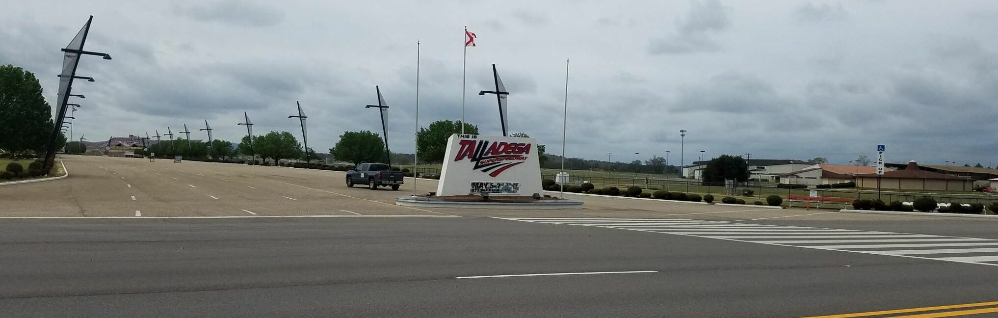
Riding from Birmingham to the Chief Ladiga Trail
This is mostly just a place to document some of the options. But I would like to also state that people who don’t ride 20,000 miles on a bicycle every year don’t have a good perspective on the hierarchy of dangers in cycling. For example, riding a two-lane county road with a speed limit of…
-
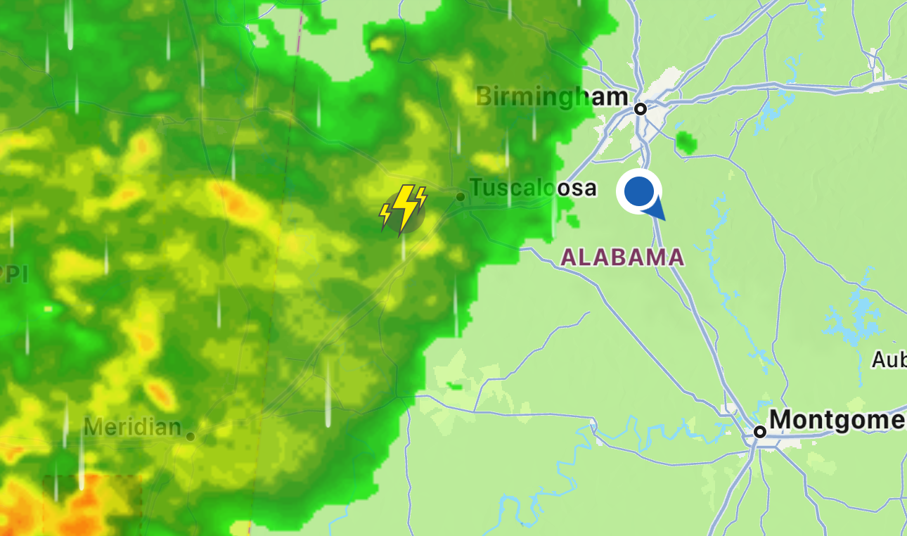
A tale of weather, Sir Arthur Eddington, counties, and Pike’s Peak
TLDR Adventure 1 – Thanksgiving – I attempted a 550 mile out/back-ish (tight loop) from Birmingham to Panama City Beach and back to record my own GPS data for Washington and Bay counties in Florida. The ride was going to be split into 265 miles there and 285 miles back for back-to-back Eddington 256 rides.…
-
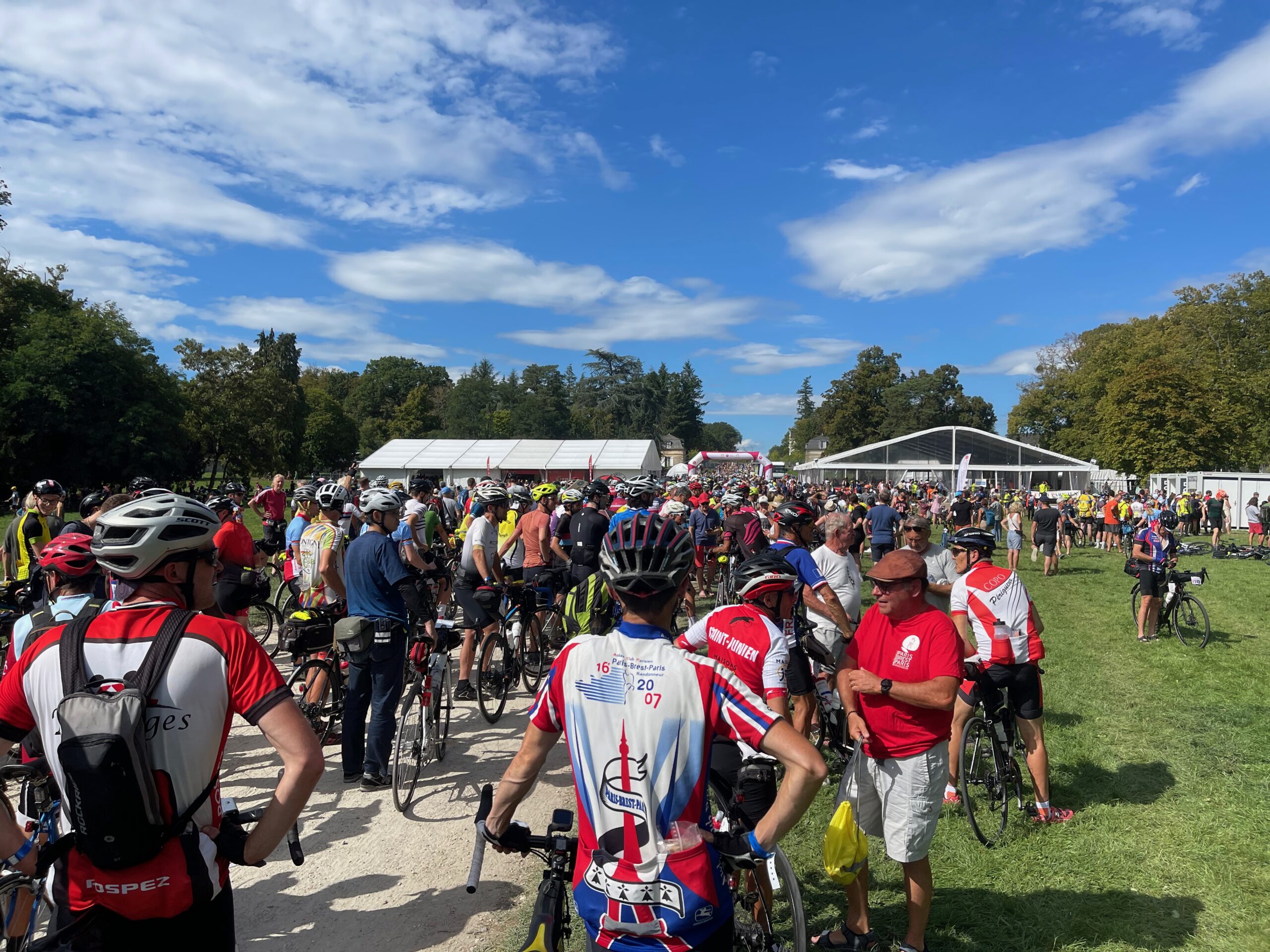
Paris-Brest-Paris 2023
TLDR – It was tough I had imagined this as being a slightly faster, slightly longer version of my normal multi-day adventures around the South. What I hadn’t counted on was how exhilarating it would actually be to do the ride and how I would overextend myself early in all the excitement. They had great…
-
The Road to Paris
I had intended to document my training and everything leading up to my Paris Brest Paris (PBP) adventure a bit more, but life has gotten so busy. I’m going to use this post as a “reverse order” summary of the journey leading up to PBP. TLDR Paris Brest Paris is only held once every four…
-

2023 Skyway Epic
Another year, another skyway. This is the life. This was my 11th year racing the skyway. It would be one of the few races I’ve ever had the opportunity to do every single edition … except for getting hit by a car and spending the week of the race in the hospital in 2014. This…
-
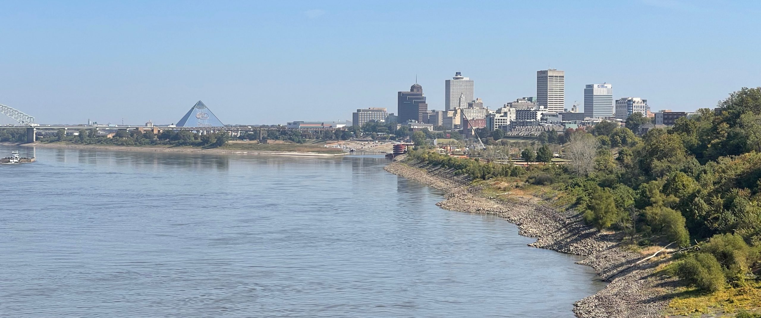
Six State Graceland 600k++
This ride started and ended in the land of the delta blues with a lot of delta blues in the middle, too — but no pouring rain. Instead, it was beautiful dry weather with a wind blowing pretty strong behind me as I headed north. Unfortunately, the wind did not die down much during the…
-
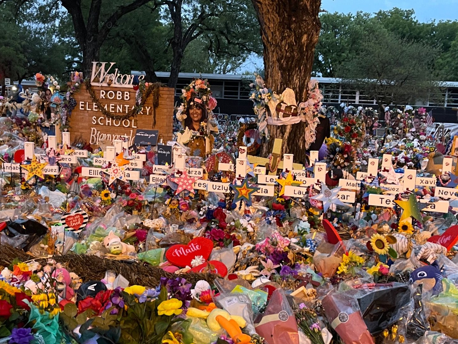
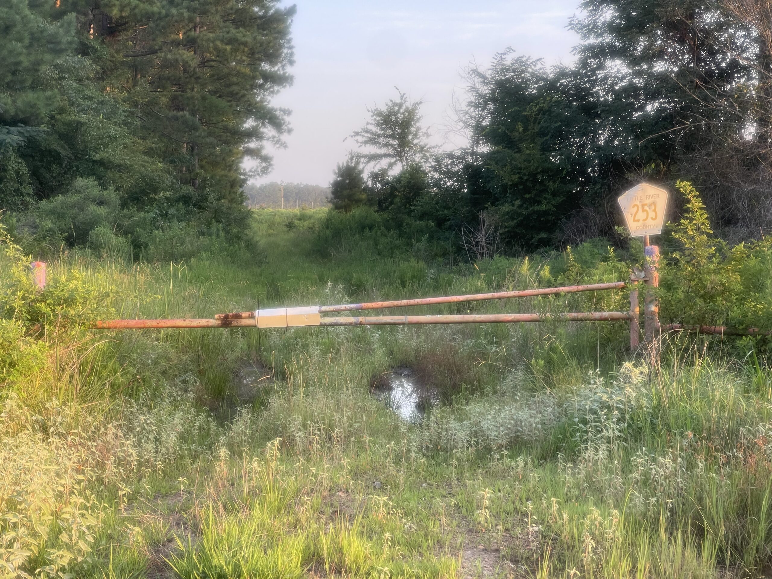
Home via Uvalde, Texas and Santa Fe, Texas
I took the picture above early in the morning of July 3rd, 2022 while biking across Texas to get back to my home in Alabama. As you can see, some of the flowers are starting to wilt. It had rained the night before and was about to start raining again. I could not speak without…
-
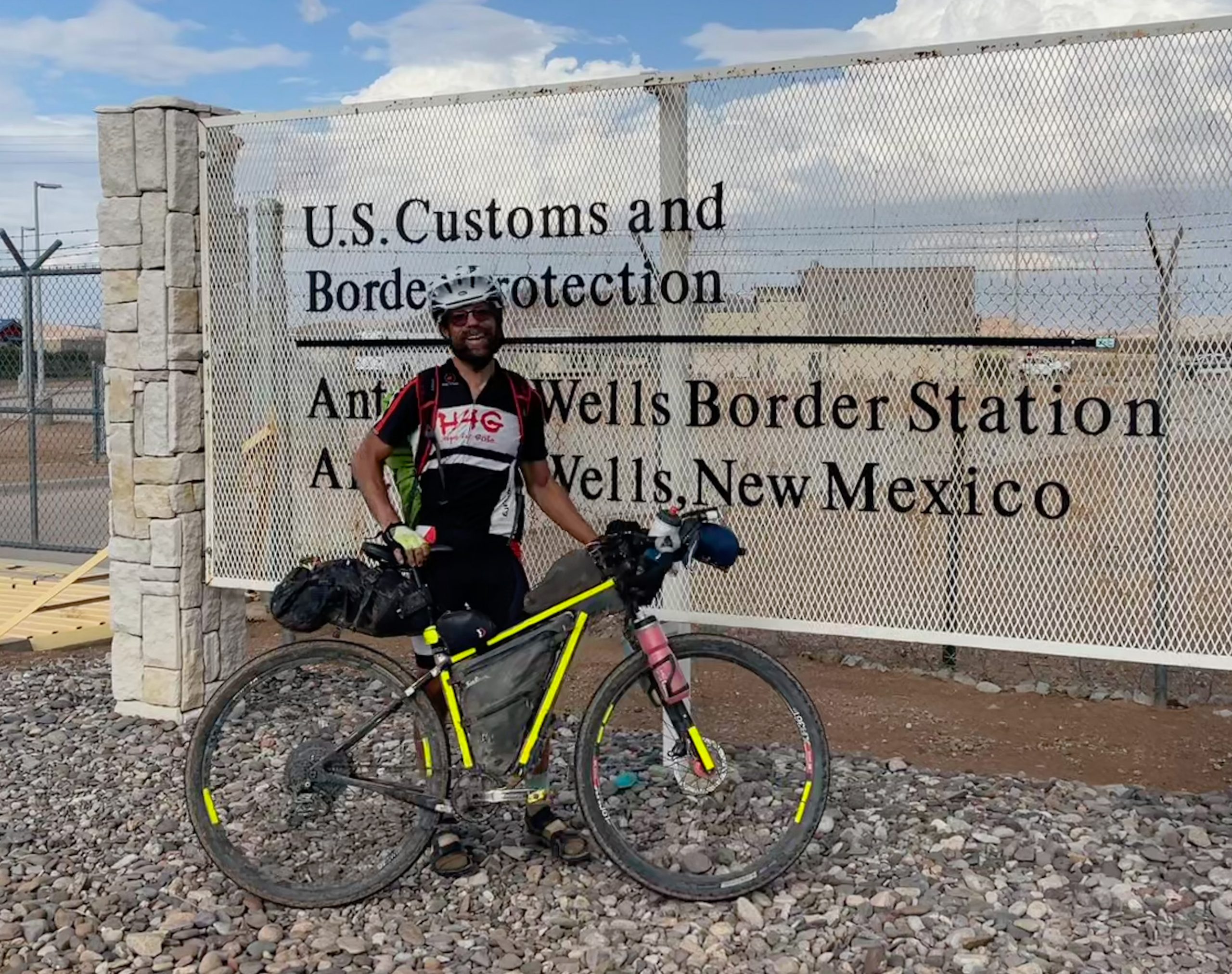
Tour Divide 2022 – Day 18 – June 28th, 2022 – Finishing the Tour Divide on our 19th wedding anniversary
On June 28th, 2003, in a beautiful small town with no traffic lights in rural Northwest Wisconsin, my beautiful wife said “I do”. The featured pic above is an hour or so later taken by a dear friend who snapped it after we finished the drive even farther into the woods to a cross country…
-
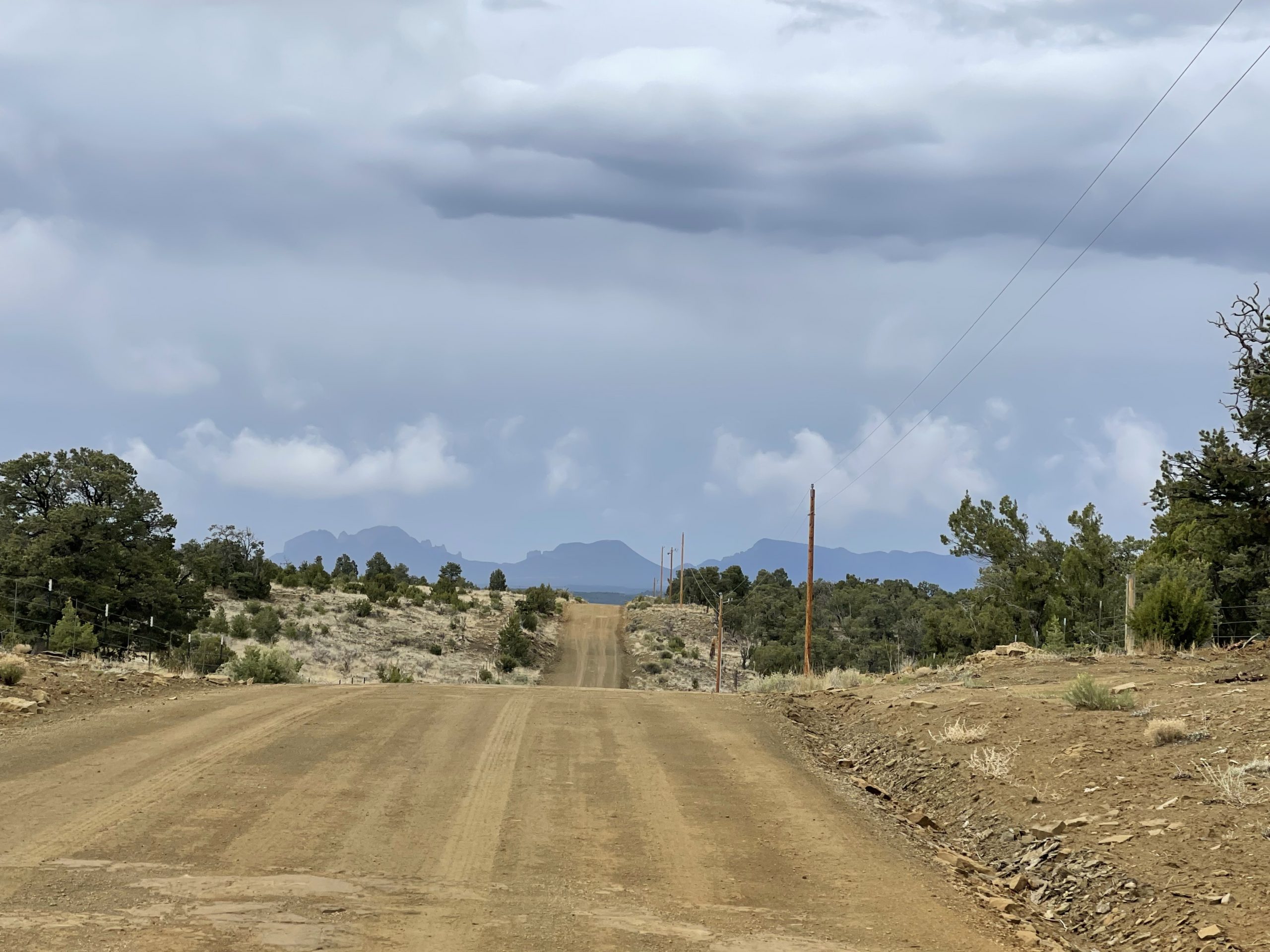
Tour Divide 2022 – Days 16 and 17 – June 26th/27th, 2022 – Grants, NM to Silver City, NM via the toughest ride of my life
Keep in mind by the start of this ride I was averaging about 3 to 4 hours of sleep per night for 15 days in a row. Also, keep in mind that by the start of this ride, I had already ridden over 2,400 miles over those same 15 days. Lastly, keep in mind that…
-
Tour Divide 2022 – Day 15 – June 25th, 2022 – Cuba, NM to Grants, NM via the Navajo Nation Reservation and Deino community day
Since I had arrived so late, I was a bit slower getting started, rolling out the door by 6am. Still, the worker who I had talked to at midnight when I resupplied at the gas station was amazed to see me again already. “Didn’t I just see you?” … “Yep, short nap”. I had run…
- March 2024
- December 2023
- October 2023
- July 2023
- June 2023
- October 2022
- September 2022
- August 2022
- July 2022
- May 2022
- April 2022
- January 2022
- December 2021
- September 2021
- August 2021
- May 2021
- April 2021
- March 2021
- December 2020
- November 2020
- October 2020
- September 2020
- August 2020
- July 2020
- June 2020
- February 2020
- January 2020
- November 2019
- September 2019
- April 2019
- December 2018
- November 2018
- August 2018
- May 2017
- April 2017
- February 2017
- December 2016
- August 2016
- May 2016
- April 2016
- March 2016
- February 2016
- January 2016
- December 2015
- November 2015
- October 2015
- September 2015
- July 2015
- February 2015
- January 2015
- December 2014
- November 2014
- September 2014
- August 2014
- July 2014
- June 2014
- May 2014
- April 2014
- March 2014
- February 2014
- January 2014
- December 2013
- November 2013
- August 2013
- July 2013
- June 2013
- May 2013
- April 2013
- March 2013
- February 2013
- January 2013
- December 2012
- November 2012
- October 2012
- September 2012
- August 2012
- July 2012
- June 2012
- May 2012
- April 2012
- March 2012
- February 2012
- January 2012
- December 2011
- November 2011
- October 2011
- September 2011
- August 2011
- July 2011
- June 2011
- May 2011
- April 2011
- March 2011
- February 2011
- January 2011
- December 2010
- November 2010
- October 2010
- September 2010
- August 2010
- July 2010
- June 2010
- May 2010
- April 2010
- March 2010
- February 2010
- January 2010
- December 2009
- November 2009
- October 2009
- September 2009
- August 2009
- July 2009
- June 2009
- May 2009
- April 2009
- March 2009
- February 2009
- January 2009
- December 2008
- November 2008
- October 2008
- September 2008
- August 2008
- July 2008
- June 2008